SatSoil
NASA data not loaded yetSummary
ENTR

Application

  • Field overview
  • NASA data
  • Water management
  • Crop rotation
  • Digital twin
  • AgriSprayPrototype
  • Summary

Smarter farm decisions with satellite data

Draw a new field
  • Field overview
  • NASA data
  • Water management
  • Crop rotation
  • Digital twin
  • AgriSpray
  • Summary

SAT2SOIL

Field overview

Your field's current climate picture from real NASA data.

Field map

NASA GIBS HLS imagery with the NASA POWER grid cell.

Field details

Vegetation health (NDVI)

Soon

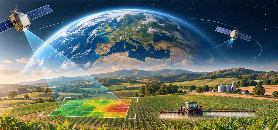
Planned: NDVI from Landsat/HLS for this field. It stays hidden until the real layer is connected; we do not draw estimated colours.

Analyses for this field

  • Water managementSoon
  • Crop rotationSoon
  • Digital twinSoon
  • AgriSpraySoon