
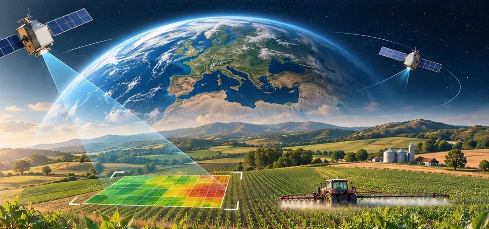
SAT2SOIL
Field selection / Map
Choose the field you want to analyse or draw a new one. The selected area is analysed with NASA data for its location.
Field area
—
Perimeter
—
Coordinates (centre)
—
NASA POWER grid cell
—
0.5° × 0.625°
NASA
NASA data sources
Main datasets used in the analysis.
- POWERClimate and meteorologyLive
- GPMPrecipitationPlanned
- SMAPSoil moisturePlanned
- LandsatVegetation index (NDVI)Planned
- ECOSTRESSLSTPlanned